Settings
Users can change some settings of their project within the "Settings" module, including, among others:
- Checklists
- Units
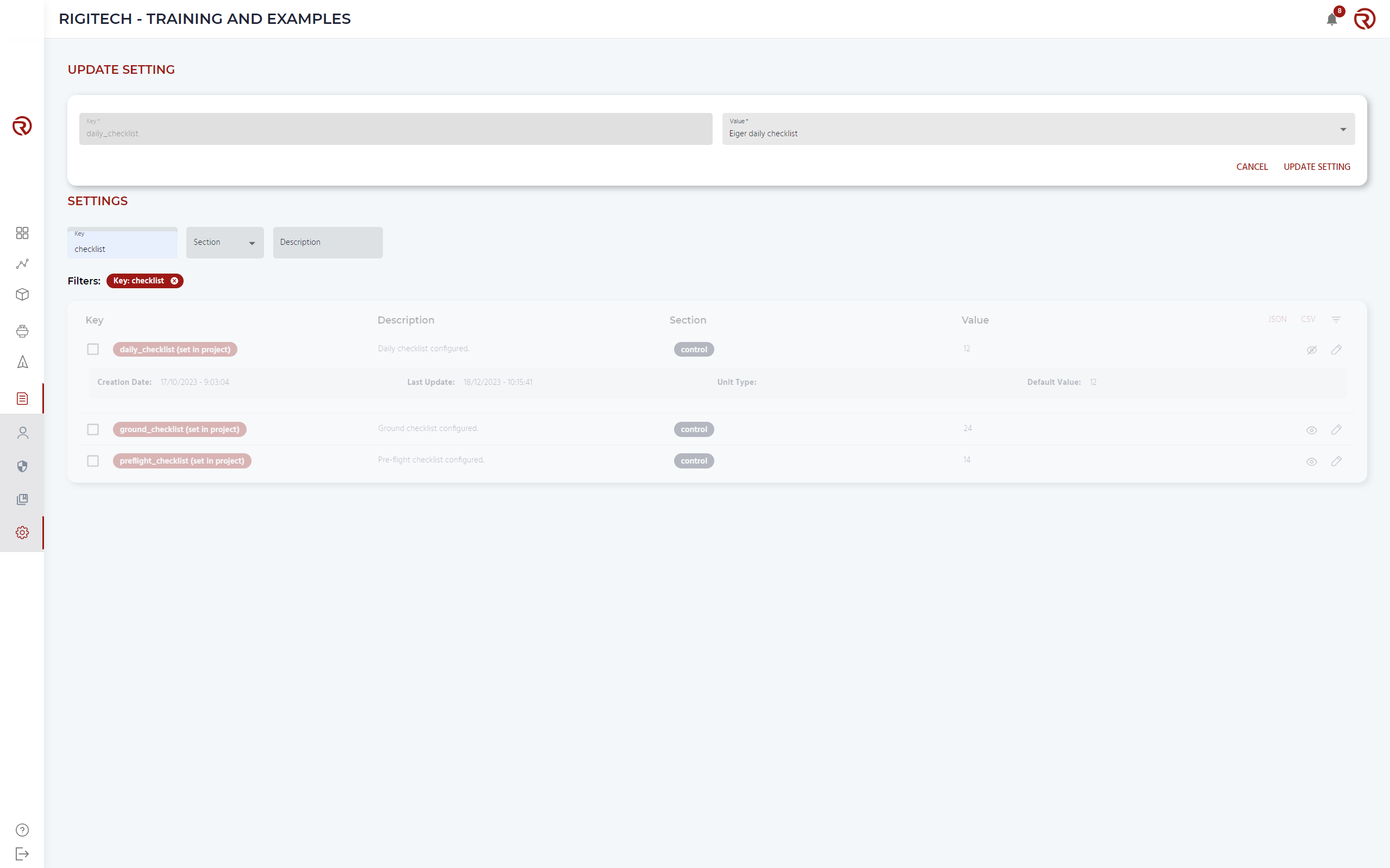
Settings are configured project-level instead of user-level. Only Head of Operations users can configure them. When a setting is different than default, its key will turn to red (instead of grey) and show the message "(set in project)".
Settings can be filtered based on their name ("Key"), section and description. Sections include: Planner, Map, General, Edge Node and Drone control.
Checklists
In order to quickly identify settings related to safety, within the filter "Key", users may write "checklist".
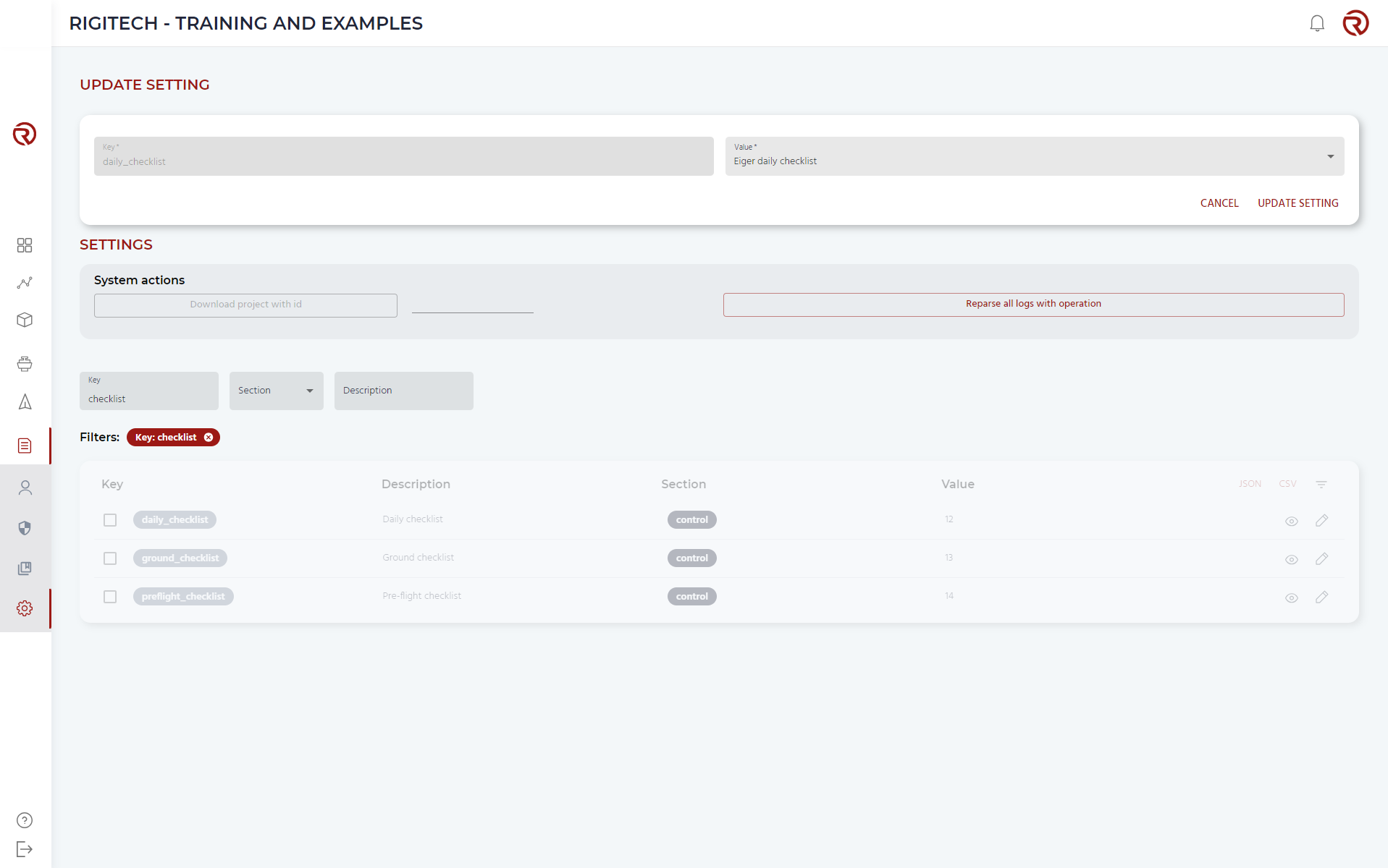
The daily, ground and pre-flight checklist used in the project are defined here. Their keys are:
- daily_checklist
- ground_checklist
- preflight_checklist
Checklists can be selected from the list of available options by clicking on "Edit". A window will appear allowing to update the setting.
Units
In order to quickly identify settings related to safety, within the filter "Key", users may write "unit".
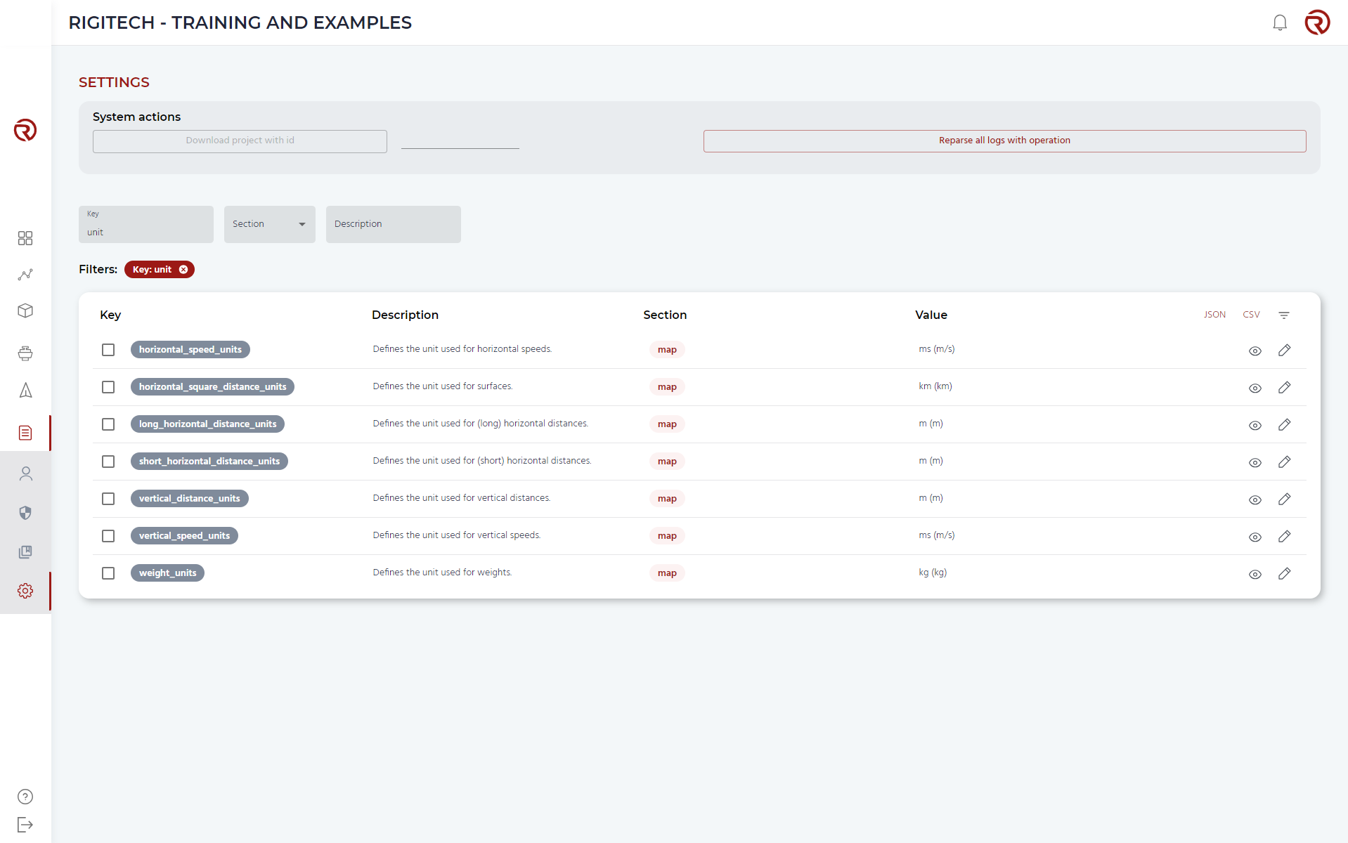
Users can change the units for:
- Horizontal speeds: horizontal_speed_units
- Vertical speeds: vertical_speed_units
- Surfaces: horizontal_square_distance_units
- Horizontal distances: short_horizontal_distance_units / long_horizontal_distance_units
- Vertical distances: vertical_distance_units
- Mass (defined as weight): weight_units
Available units are a mix between metric, imperial and aviation systems.
Drone connected
- connected_drone_satellite_threshold: defines the time that the drone is shown as connected when it has only satellite lnk (in ms). The default value is 60 s.
- connected_drone_threshold: defines the time that the drone is shown as connected without receiving any telemetry (in ms). The default value is 5 s.
Map styles
Settings allowing to change the map styles:
- rigi_map_selected_style
- rigi_map_selected_style_light